What Was Redlining?
Beginning in the 1930s, the federal Home Owners' Loan Corporation (HOLC) commissioned surveys of hundreds of American cities, assigning neighborhoods letter grades — A through D — to guide mortgage lending decisions. Areas graded "D" were outlined in red on maps, a practice that became known as redlining. These zones were deemed too risky for federally backed loans, and they were disproportionately home to Black, Latino, immigrant, and low-income residents.
Private lenders and the Federal Housing Administration (FHA) adopted similar criteria, effectively cutting off entire communities from the mortgage market that was simultaneously helping millions of white Americans build generational wealth through homeownership. The Fair Housing Act of 1968 made such discrimination illegal, but by then, a structural gap had been engineered into the urban landscape.
The Wealth Gap That Followed
Homeownership has historically been the primary vehicle through which American families accumulate wealth. When federal policy systematically denied that vehicle to communities of color for roughly three decades, the downstream effects were compounding. Families unable to buy homes could not build equity, could not pass property to children, and were often confined to the rental market — where they built wealth for landlords instead of themselves.
Research published by the National Community Reinvestment Coalition and others has found that formerly redlined neighborhoods still show significantly lower rates of homeownership and lower median home values than neighborhoods that received favorable HOLC grades in the same cities. The racial homeownership gap in the United States — roughly 30 percentage points between Black and white households, according to U.S. Census Bureau data — reflects, in part, the compounded disadvantage of these mid-century exclusions.
Economists and housing scholars note that the wealth disparity is not explained solely by income differences. Studies controlling for income still find that formerly redlined areas lag behind in property values, credit access, and asset accumulation.
Health, Environment, and Infrastructure
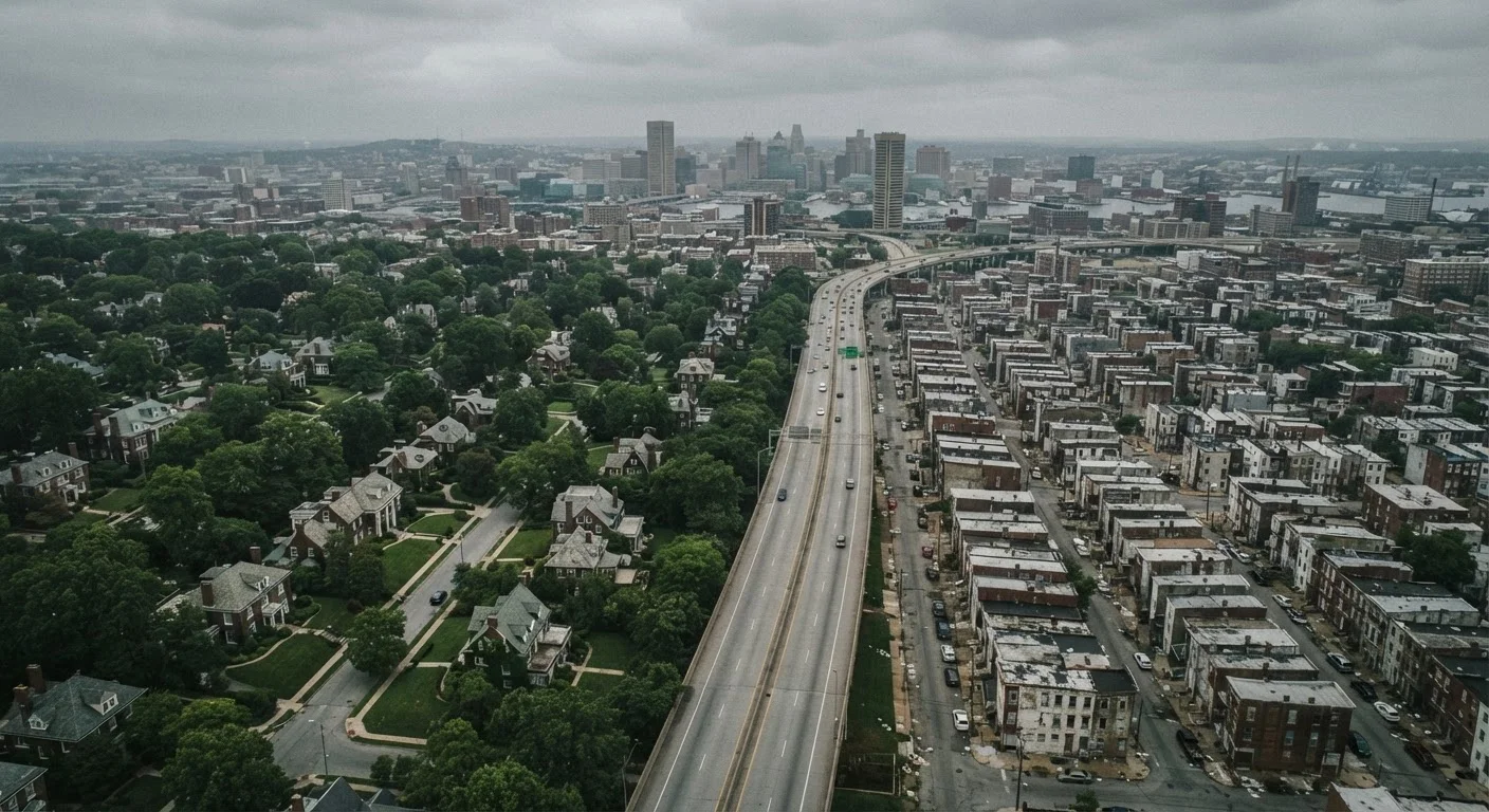
The consequences of redlining extended beyond finances. Because HOLC grades influenced not only mortgage lending but also municipal investment decisions, disinvested neighborhoods often received fewer public services — less park space, older infrastructure, and fewer grocery stores or health facilities. Researchers have documented a striking pattern: formerly redlined areas in many cities today have significantly higher concentrations of impervious surfaces such as asphalt and concrete, and fewer tree canopies, contributing to what climate scientists call the urban heat island effect.
A widely cited 2020 study published in the journal Climate found that formerly redlined neighborhoods were, on average, several degrees hotter in summer than higher-graded areas in the same cities — a disparity with direct public health implications, particularly for elderly residents and those without air conditioning.
Health outcome data further illustrate the pattern. Studies have linked residence in formerly redlined neighborhoods to higher rates of asthma, cardiovascular disease, and premature mortality, after accounting for confounding variables. Public health researchers are careful to note that correlation does not establish simple causation, but the consistency of the finding across multiple cities and data sets has drawn broad scholarly attention.
Policy, Politics, and Present-Day Implications
Understanding redlining's legacy matters for current policy debates. Zoning laws, school funding formulas tied to local property taxes, and infrastructure maintenance budgets all interact with the neighborhood inequalities that discriminatory lending helped create. Proposals such as community reinvestment requirements, place-based investment programs, and housing voucher reform are partly responses to this documented history.
The political dimensions are significant as well. Neighborhood composition shapes congressional and state legislative districts. Just as redistricting decisions carry long-term consequences for political representation, the geographic sorting produced by redlining has shaped who lives where — and whose interests are centered in local governance.
For renters navigating today's housing market, understanding neighborhood history can inform decisions. Resources like the University of Richmond's "Mapping Inequality" project have digitized original HOLC maps and made them publicly searchable. Prospective renters and buyers researching a neighborhood's context may also benefit from reading rental listings critically and asking broader questions about community investment and services.
This article is for general informational and educational purposes. It does not constitute legal, financial, or real estate advice. Readers should consult qualified professionals for guidance specific to their circumstances.