The Once-a-Decade Process That Sets Political Power
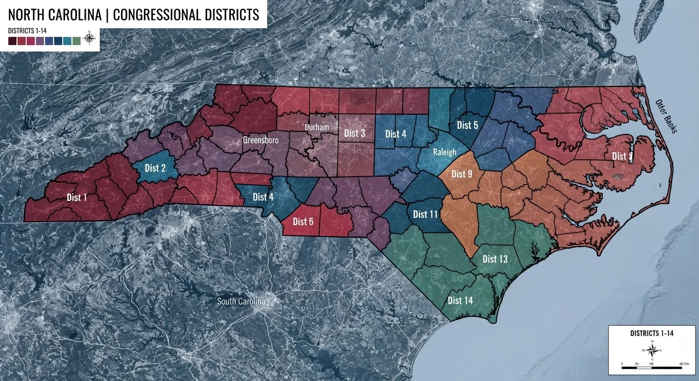
Every ten years, the U.S. government conducts a Census count of every resident in the country. That count determines how many congressional seats each state receives — a process called apportionment. But apportionment is only the first step. Once seat counts are set, individual states must draw the actual boundary lines that define each congressional district. That second step is redistricting, and it is where political battles often begin.
The stakes are high. A single redrawing can shift a state's congressional delegation from evenly divided to solidly one-sided for an entire decade — covering five congressional elections and potentially multiple presidential terms. Because district lines determine which voters live in which district, they effectively pre-sort electoral outcomes before a single ballot is cast.
For a broader look at how redistricting fits alongside other consequential political mechanisms, see our plain-language guide to political terms that shape U.S. governance.
How Gerrymandering Works — and Why It's Hard to Stop
The term "gerrymandering" dates to 1812, when Massachusetts Governor Elbridge Gerry approved a salamander-shaped district designed to favor his party. The word stuck, and the tactic has never gone away. Today, redistricting mapmakers use two main techniques:
- Packing: Concentrating as many opposition voters as possible into a small number of districts, so the opposition wins those seats by huge margins but wastes votes elsewhere.
- Cracking: Splitting opposition voters across multiple districts so they never form a majority in any single one.
Both approaches can allow a party to win a majority of seats even when its candidates receive a minority of total votes statewide. Statisticians and political scientists have documented this effect across multiple election cycles.
2019
Year federal courts lost jurisdiction over partisan gerrymandering
The U.S. Supreme Court's ruling in Rucho v. Common Cause barred federal courts from reviewing claims of partisan gerrymandering in congressional maps.
~13
States using independent redistricting commissions
According to the National Conference of State Legislatures, roughly a dozen states use some form of independent or bipartisan commission for congressional redistricting.
10 years
Duration each set of district maps governs elections
Maps drawn after each decennial U.S. Census remain in effect for all elections until the next redistricting cycle, covering roughly five congressional election cycles.
The legal landscape for challenges is uneven. Racial gerrymanders — maps that dilute the voting power of Black, Latino, or other minority communities — remain subject to federal court review under the Voting Rights Act. Purely partisan gerrymanders, however, received a different verdict. In 2019, the U.S. Supreme Court ruled in Rucho v. Common Cause that federal courts have no authority to review partisan gerrymandering claims, leaving such disputes to state courts and state constitutions.
Who Draws the Maps — and Why That Matters
In the majority of U.S. states, the state legislature draws congressional and state legislative maps. This means whichever party controls the legislature in the year after a Census — typically an odd-numbered year following the count — holds enormous power over representation for the next decade. In states with a governor from the opposing party, a veto creates a check. In states with unified government, that check is absent.
A growing number of states have moved to independent or bipartisan redistricting commissions. California, Michigan, Colorado, and Arizona are among the states that have adopted this approach, often through voter-approved ballot initiatives. These commissions vary widely: some are purely citizen-based, others include retired judges or appointees from both parties. Their records on producing competitive maps are mixed, but they generally reduce the most extreme partisan outcomes.
Redistricting decisions made at the state level ripple forward in time. The maps drawn after the 2010 Census, for instance, shaped congressional elections for the entire decade that followed. Understanding how district lines interact with voter participation matters beyond election night — see why voter turnout in midterms tends to collapse for context on how these dynamics connect.
Why This Process Gets So Little Attention
Redistricting is genuinely complex — it involves maps, statistical models, demographic data, and legal frameworks that can be difficult to summarize in a short news cycle. It also lacks the drama of a candidate debate or a close election night. The consequences unfold slowly, over years, which makes them harder to connect to any single news moment.
There is also a timing issue. Redistricting happens in the year or two after the Census, often well before elections are scheduled. By the time voters start paying close attention to a race, the boundary lines that shaped who can compete in it were drawn years earlier and attract little scrutiny.
Yet the effects are concrete and durable. District maps influence which communities share a representative, whether competitive elections exist at all in a given area, and which interests a legislator needs to serve to stay in office. These are questions that touch housing policy, infrastructure spending, healthcare access, and much more. The historical patterns that shaped American communities — including those documented in our coverage of redlining's lasting effects — often intersect directly with how district lines are drawn today.
Redistricting is also, importantly, a process that voters can influence — through ballot initiatives to reform map-drawing rules, through participation in the public comment periods most states require, and through attention to state legislative races that often determine who controls the process. The next major cycle follows the 2030 Census. That gives Americans several years to engage with the rules before the maps are drawn.